Figure 4-2, Conceptual Site Plan, from the City of Costa Mesa's Public Review Draft Specific Plan (March 2026), page 55. Tap the map to open it full size. A draft document; details may change through the public process.
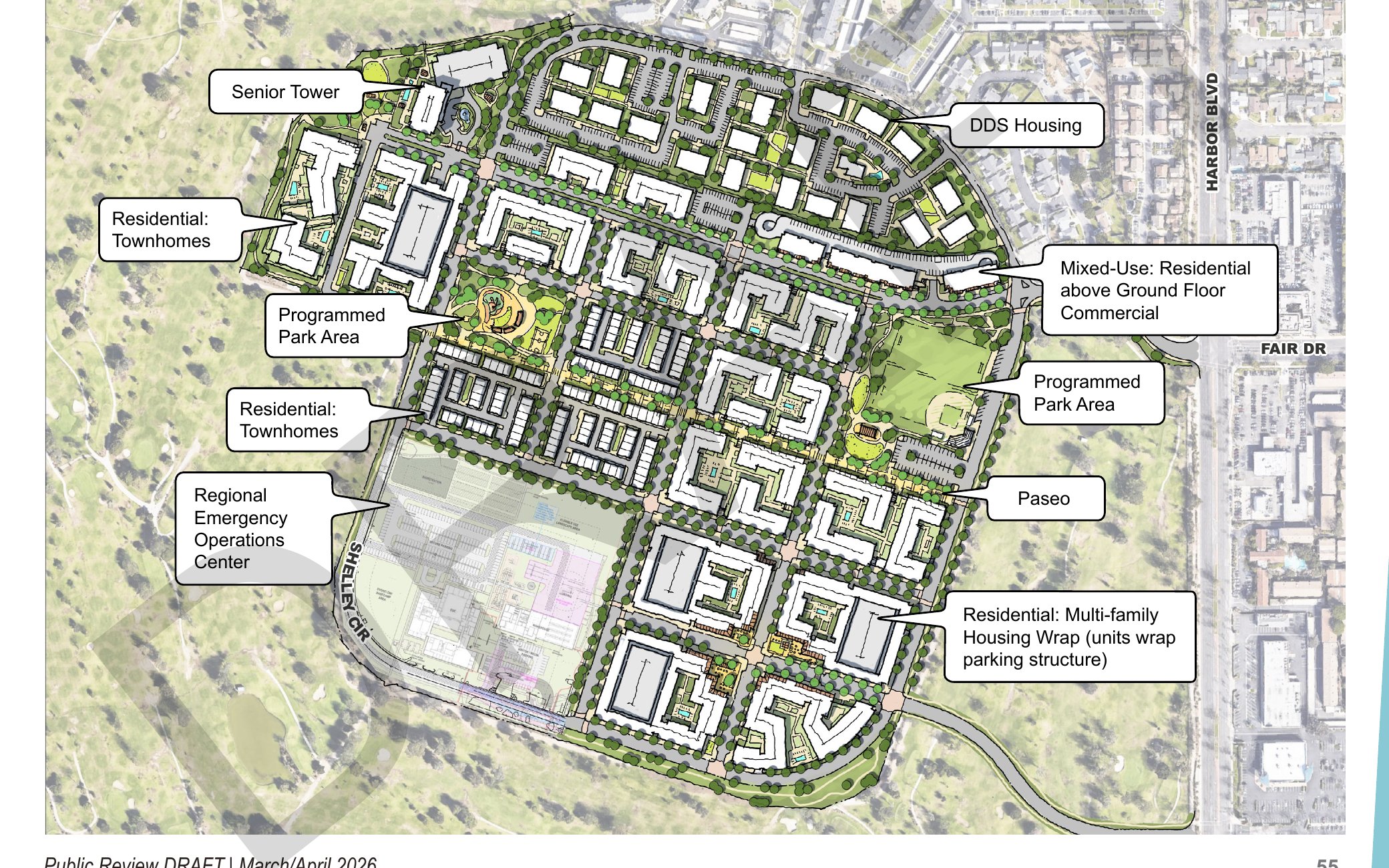
The City of Costa Mesa's own conceptual site plan for the 121 acres: courtyard housing blocks, two programmed parks, a paseo spine, DDS housing, mixed-use main street frontage, and the Regional Emergency Operations Center.
Figure 4-2, Conceptual Site Plan, from the City of Costa Mesa's Public Review Draft Specific Plan (March 2026), page 55. Tap the map to open it full size. A draft document; details may change through the public process.
Most housing comes as courtyard blocks and townhome rows, with a senior tower, DDS housing, and multi-family buildings that wrap their own parking structures.
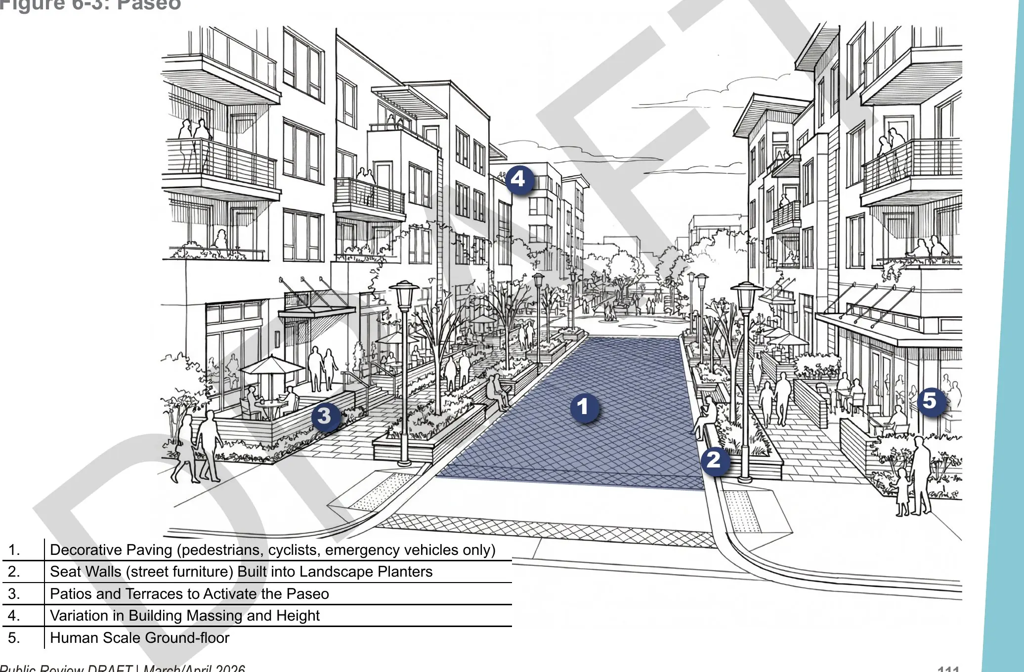
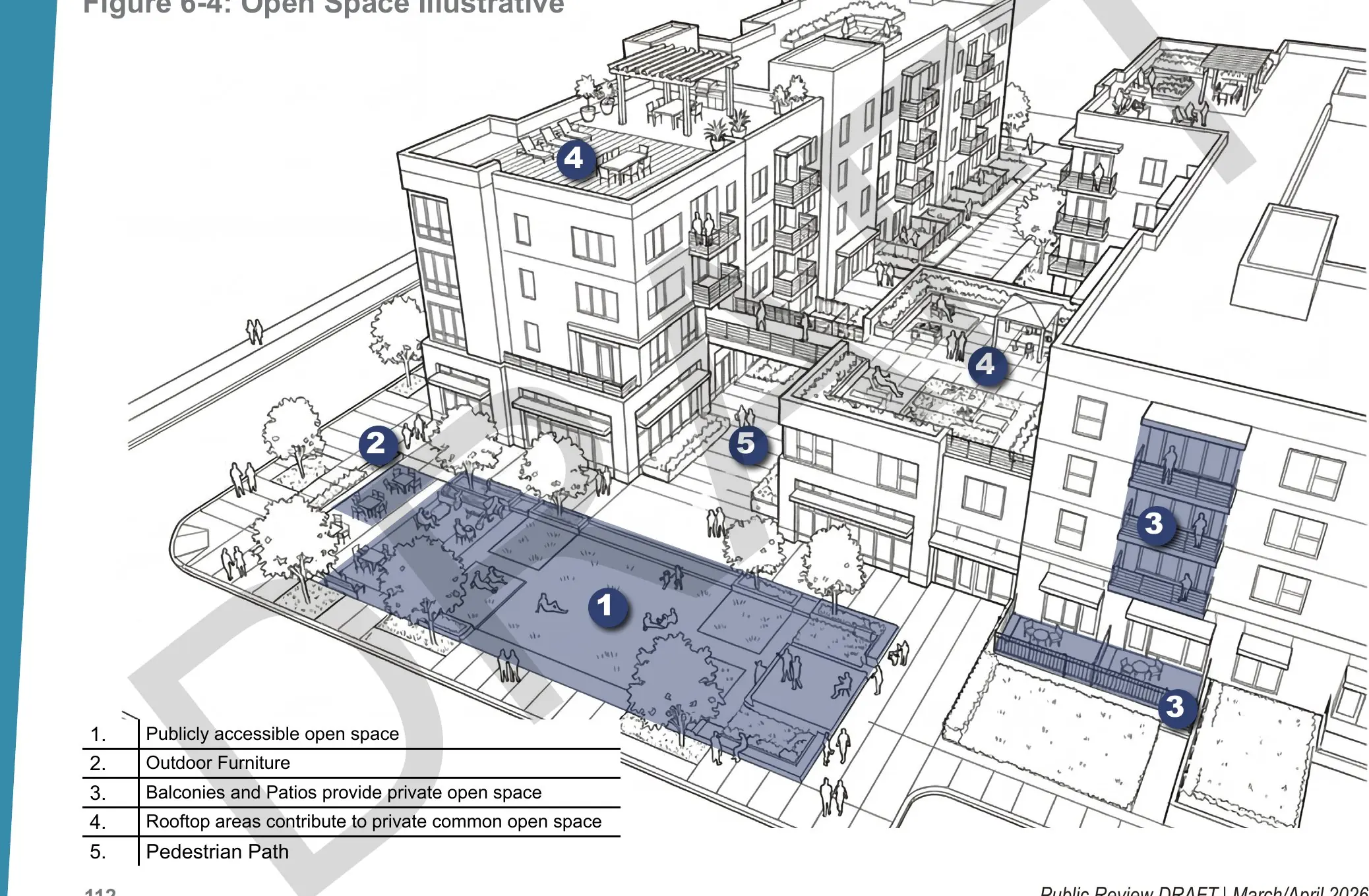
Two programmed park areas anchor the neighborhood, tied together by a walkable paseo, plazas, and public open space at the edges.
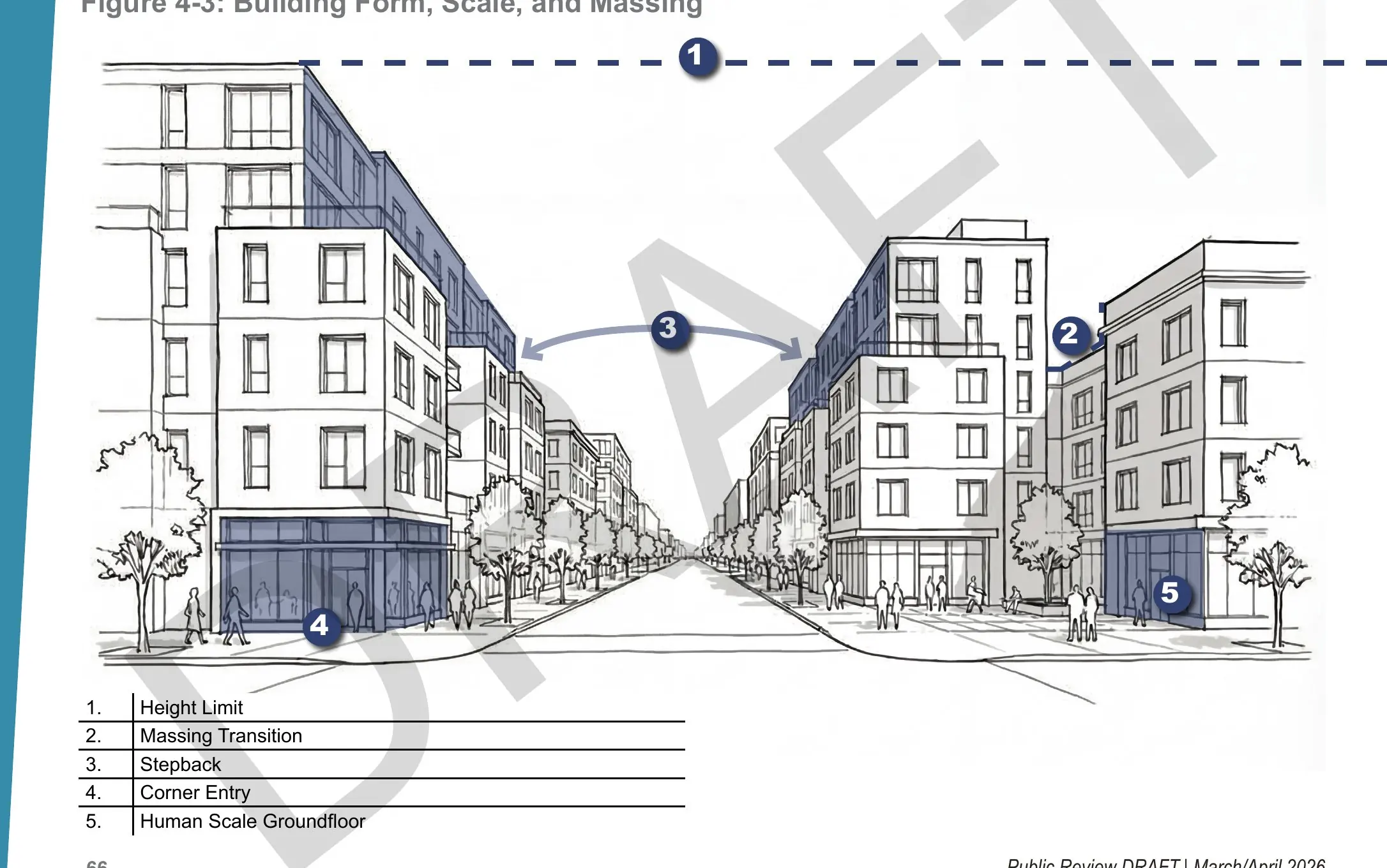
DDS housing for former Fairview residents, mixed-use frontage with ground-floor commercial, and the Regional Emergency Operations Center along Shelley Circle.